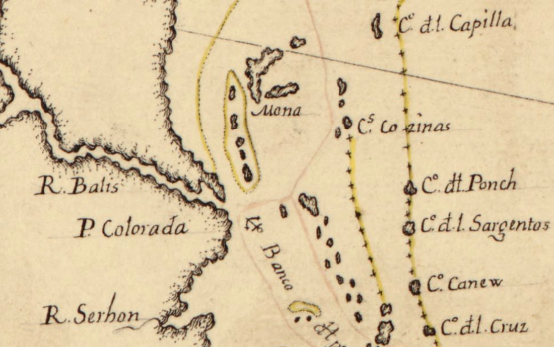
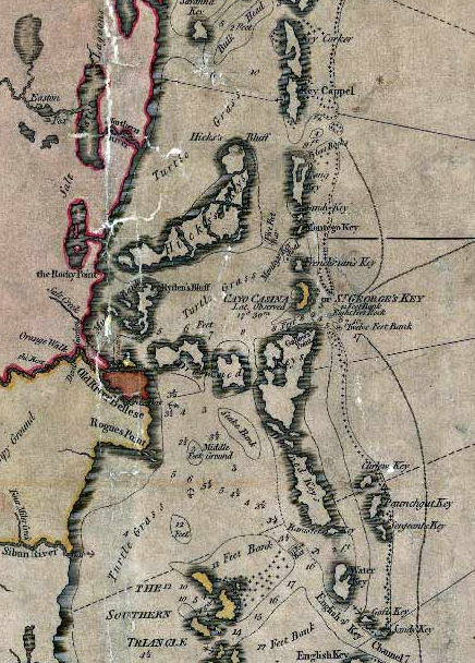
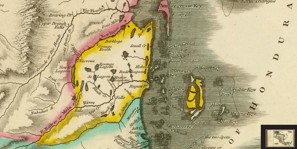
St. George's Caye has been portrayed in historical maps throughout the centuries. Presented here are a series of maps from the 18th century that compare the toponyms used for St George's Caye and Belize.
Maps Including St George's Caye between 1726 - 1787
|
Year
17??? 1726 1735 1753 1764 1775 1780 1783 1786 1816 |
Map Language
Spanish English English Spanish Spanish English English Spanish English English |
St George's Caye Name
Cs1 Cozinas Kee Coufin Kazina K Caio Cosina Key Cofina2 or St George's Island Cosinas Key Kasina & de St. George Cayo Casina & St George's Key St George's Key |
Translation
Catalan=Kitchens French=Bassinet |
Belize Name
Balis R Belieeze |
Translation
French=Beacons |
1 Cs or Cayos suggests there was more than one caye
2 the letter "f" is known as the medial "s" and used an "s" in writings during this time period
2 the letter "f" is known as the medial "s" and used an "s" in writings during this time period
17--
Map showing Caribbean coast of Central America from Belize to Honduras
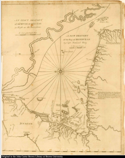
1725 By Nathaniel Uring
A History of the Voyages and Travels of Captain Nathaniel Uring
|
Nathaniel Uring was an English merchant and Deputy-Governor of Saint Lucia in 1722. He published two books on his travels, one specifically on St Lucia and the other on the Western Caribbean, which he titled "A History of the Voyages and Travels of Captain Nathaniel Uring." The first edition was in two volumes and include maps and was printed by W. Wilkins for J. Peele.
Uring’s account of Honduras is considered one of the earliest and best and the chart of the Bay includes the Bellese River, here first described with accuracy. His vivid details of local natural history often include gastronomic potential, and the manatee, notably, gets this treatment. An important record of maritime life during the Golden Age of Piracy. This set includes both parts of this lively account of seafaring in the seventeenth and early-eighteenth centuries. The map of the Western Caribbean is cleverly composed of two map and two titles and is made avaialable courtesy the John Carter Brown Library's 1926 Edition Map 1. An exact draught of the river of Bellese as high as the Barcadares Map 2. A new draught of the bay of Honduras by Capt Nathaniel Uring |
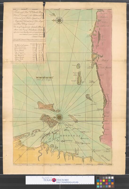
1735 Ye Spanish & Musketor Shore & the Bay of Honduras by Samuel Penhallow
REFERENCES
- 17-- Map showing Caribbean coast of Central America from Belize to Honduras
- 1726 Nathaniel Uring's "An exact draught of the river of Bellese as high as the Barcadares"
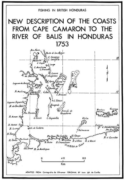
- New Description of the Coasts from Cape Camaron to the River Balis in Honduras 1753 by Juan Joseph de Cotilla Cartographia de Ultramar published in Ambergriscaye.com from Craig 1966.
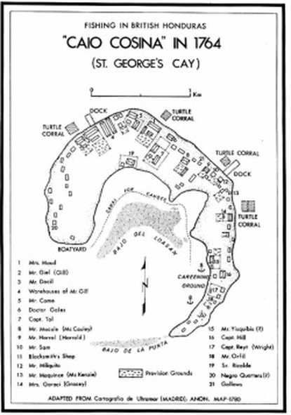
- Caio Cosina in 1764 at the Cartografia de Ultramar ANON from 1780.
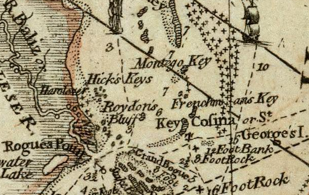
- The Bay of Honduras 1775 by Thomas Jeffreys
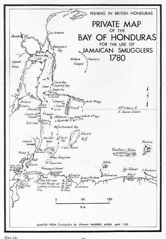
- Private Map of the Bay of Honduras for the Use of Jamaican Smugglers 1780
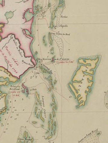
- Carte de la partie de l'Yucatan concedée aux Anglais: [traités de 1783 et 1786]
- 1786 Treaty between England & Spain - Article 4 and A Map of a Part of Yucatan allotted to Great Britain for the cutting of Logwood, by William Faden, 1787
Spanish North America, southern part. Drawn & engraved for Thomson's New general atlas, 1816.
Presented by David Rumsey
Presented by David Rumsey

